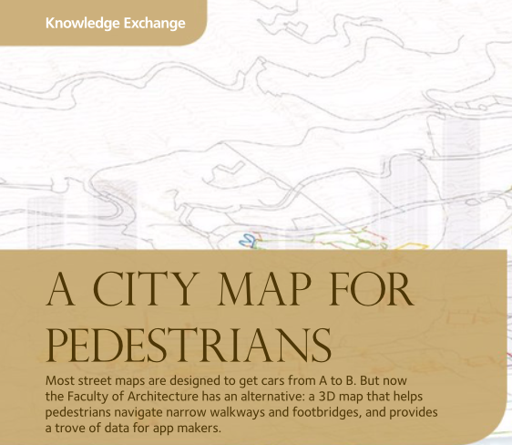
A City Map for Pedestrians
Most street maps are designed to get cars from A to B. But now the Faculty of Architecture has an alternative: a 3D map that helps pedestrians navigate narrow walkways and footbridges, and provides a trove of data for app makers.